
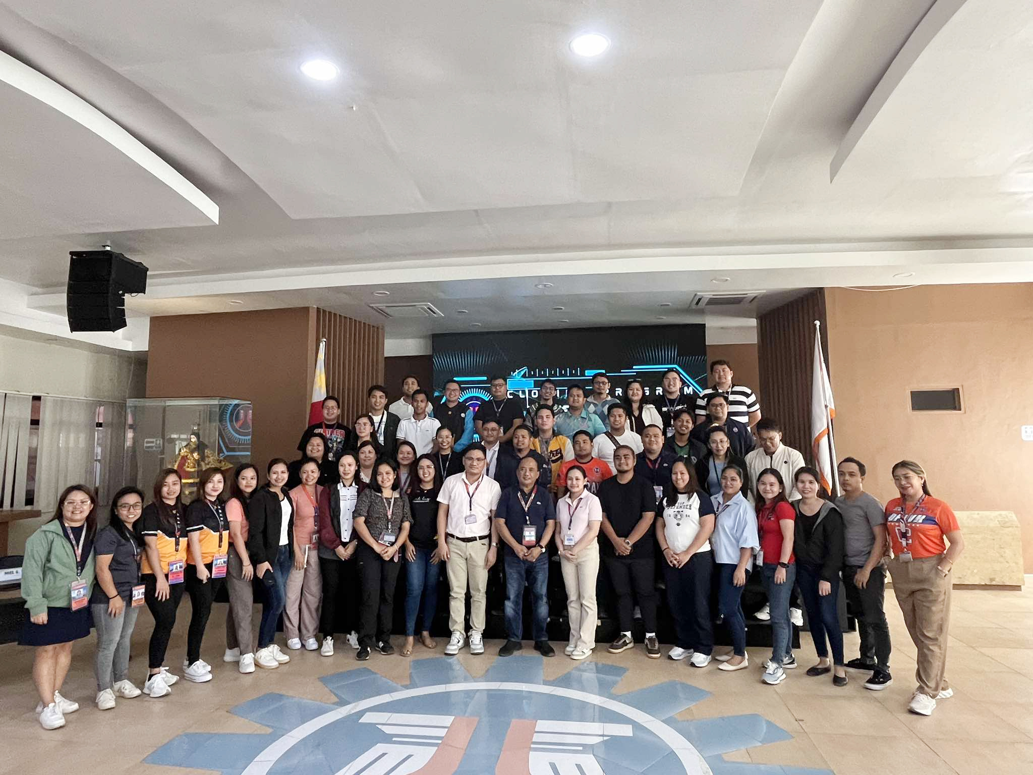
TACLOBAN CITY — Engineers Louiege Genotiva and Jesselle Ven Macasil from the Tacloban City District Engineering Office’s (TCDEO) Planning and Design section participate in a five-day training on the utilization of ArcGIS Pro, a Geographic Information System (GIS) application.

The training, held from September 23-27, 2024, took place at the Multi-Purpose Hall of the Department of Public Works and Highways (DPWH) Regional Office VIII in Baras, Palo. This was conducted in relation on updating of Convergence Program Regional Connectivity Map. Thus, it aims to equip participants with the essential knowledge and skills necessary to properly utilize ArcGis Pro.
ArcGIS Pro is a desktop application used for creating, analyzing, and sharing maps and geographic information. It helps users design detailed 2D and 3D maps, making it a powerful tool for visualizing spatial data. During the training, participants learned about basic GIS concepts, key features of ArcGIS Pro, how to create map layouts, and the basic commands and functions of the application. They also completed hands-on exercises to practice using the software in real-world scenarios.
The training culminated with a major exercise activity that involved creating and presenting map layouts, followed by critiques. A written examination was also administered to assess the participants’ grasp of the application’s tools and capabilities.
Engr. Macasil described the training as a valuable learning experience. “This training provided us with hands-on experience using ArcGIS Pro, which will be instrumental in enhancing our mapping and spatial analysis capabilities at TCDEO,” she said.
(PUBLIC INFORMATION UNIT)


